



Why Construction Progress Tracking Needs IoT-Connected Drone Data
Why Construction Progress Tracking Needs IoT-Connected Drone Data

- Last Updated: August 3, 2026
Dania Akram
- Last Updated: August 3, 2026

Construction projects generate an enormous amount of data. Daily reports, inspection logs, progress photos, material tracking sheets, change orders. The problem isn't a lack of information. It's that most of it is scattered across devices, filed in different systems, and impossible to synthesize into a clear picture of what's actually happening on site.
IoT is changing that. Not by adding more data to the pile, but by connecting data sources that have historically been siloed. One of the most practical applications sits at the intersection of IoT and aerial data collection: drone-based construction progress monitoring that feeds directly into project management and safety systems.
For construction managers, project owners, and the executives who sign off on capital projects, the value proposition is straightforward. You get a time-stamped, georeferenced visual record of site conditions that can be accessed remotely, compared against project schedules, and archived for dispute resolution. No one has to walk the site to know what happened last Tuesday.
The Problem with Traditional Progress Tracking
Most construction progress tracking still relies on manual processes. A project manager or superintendent walks the site with a camera or tablet, takes photos, writes notes, and files a report. On a small project, this works well enough. On a large project, it falls apart.
The person documenting progress can't be everywhere at once. What gets captured depends on what they happen to see during their walkthrough. Areas that are inaccessible, unsafe, or simply not on the day's route don't get documented. The photos that are taken sit on a phone or in a folder somewhere, disconnected from the project schedule, the BIM model, and the daily log.
When a dispute arises about whether a subcontractor completed their work on time, or when a change order claim depends on site conditions from six months ago, the record is incomplete. People end up relying on memory, and memory is unreliable.
What Drone-Based Monitoring Adds to the IoT Stack
Drones equipped with high-resolution cameras and RTK positioning systems can fly a pre-programmed route over a construction site in under an hour. The imagery they capture is georeferenced, meaning every pixel is tagged with its real-world coordinates. When you fly the same route on a regular schedule, you build a time-series record of site conditions that is spatial, consistent, and independent of human selection bias.
The IoT connection happens when this data feeds into the platforms that construction teams already use. Drone imagery can be ingested into project management software, overlaid on BIM models, and linked to schedule milestones. A project owner sitting in an office 500 miles away can pull up last Wednesday's aerial imagery and compare it against this Wednesday's to verify that structural steel installation is on track.
Practical resources on drone-based construction progress monitoring explain how these workflows operate at the project level. The core principle is simple: capture site conditions systematically, georeference the data, and make it accessible to everyone who needs it. The technology to do this exists today, and it's being used on projects ranging from single-building commercial developments to multi-mile infrastructure corridors.
Connecting Field Data to Decision-Making
The real power of IoT in construction isn't the drone itself. It's the connection between the data the drone collects and the decisions that data supports.
When drone imagery is integrated with project scheduling software, delays become visible before they become critical. If the imagery from this week shows that the south elevation cladding hasn't started, but the schedule indicates it should be 30 percent complete, the project manager will see that discrepancy immediately. Not two weeks later when someone finally gets around to updating the progress report.
When drone construction monitoring is linked to material tracking systems, logistics problems surface earlier. The imagery might show that steel beams delivered two weeks ago are still sitting in the laydown yard, suggesting that installation is behind schedule or that the wrong materials were delivered.
When time-series imagery is connected to safety management systems, hazard trends become detectable. Photos from the last four flights might show that material is consistently being staged too close to an excavation edge, indicating that a specific subcontractor needs intervention.
None of these are speculative applications. They're being done now on projects where the owner or general contractor has invested in connecting their data systems.
The Safety Angle That Gets Overlooked
Drone-based monitoring has an obvious safety benefit: it keeps workers on the ground rather than climbing scaffolding or walking on unstable terrain to document progress. But there's a less obvious safety benefit that may be more valuable over the long term.
When every flight produces a complete visual record of the site, that record becomes a training and accountability tool. Safety managers can review imagery to identify unprotected edges, blocked access routes, and material storage problems without being on site. They can compare images over time to see whether a flagged hazard has actually been addressed.
After an incident, the time-series record provides investigators with evidence of site conditions leading up to the event. Was that trench properly shored the week before it collapsed? Was that crane positioned on stable ground? The drone record answers those questions in ways that eyewitness accounts and paper logs cannot.
What to Look for in a Monitoring System
If you're evaluating drone-based progress monitoring for your projects, start with the data, not the drone. The drone is just a collection tool. What matters is what happens to the data after the flight.
Look for systems that georeference imagery to your site coordinate system. Without georeferencing, you're collecting pictures, not data. With it, you can overlay imagery on your BIM model, measure dimensions, and track changes over time with spatial accuracy.
Look for platforms that integrate with your existing project management software. If drone data sits in a separate system that requires a separate login, your team won't use it. The data needs to flow into the tools they're already working in.
Look for a defined flight cadence. The value of drone monitoring comes from the time-series record, not from any single flight. Weekly flights provide enough density to identify trends without overwhelming your team with data.
Finally, make sure your drone operator is properly certified and insured. In the United States, commercial drone operations require FAA Part 107 certification. This isn't optional, and it's not something to compromise on.
The ROI Case for Owners and Developers
For project owners, the return on investment from drone-based monitoring comes from three places.
First, dispute resolution. When a subcontractor claims they completed work that you can't verify, drone imagery from the relevant date provides objective evidence. A single avoided dispute can pay for years of monitoring.
Second, schedule certainty. When you can see delays as they emerge rather than discovering them at the monthly progress meeting, you can intervene earlier. Earlier intervention means shorter delays and lower cost overruns.
Third, risk management. The time-series record of site conditions is evidence that insurers, lenders, and regulators increasingly expect to see. After an incident, having that record available can materially affect liability determinations and insurance outcomes.
The technology has reached a point where the cost of weekly drone monitoring is a rounding error on most construction budgets. The bigger barrier is organizational: the willingness to change how progress is tracked and to connect the data that's being collected to the people who need to see it.

The Most Comprehensive IoT Newsletter for Enterprises
Showcasing the highest-quality content, resources, news, and insights from the world of the Internet of Things. Subscribe to remain informed and up-to-date.

New Podcast Episode

IoT Is Finally Delivering

Related Articles



Related Solutions
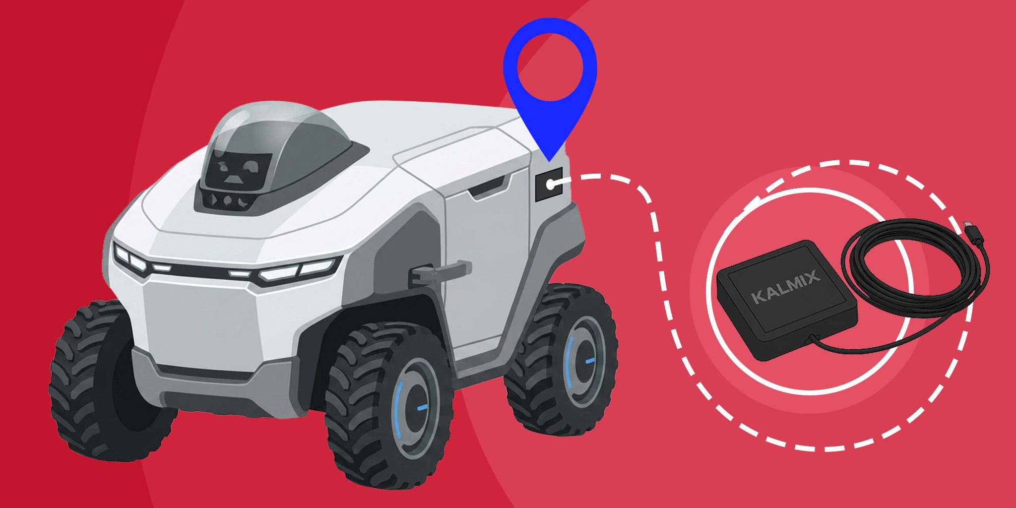
RTK Positioning for Robotics and Field Machines
High-precision positioning. Achieve centimeter-level accuracy without the complexity of building custom hardware from scratch.
High-precision positioning. Achieve centimeter-level accuracy without the complexity of building custom hardware from scratch.
Kalmix
Kalmix
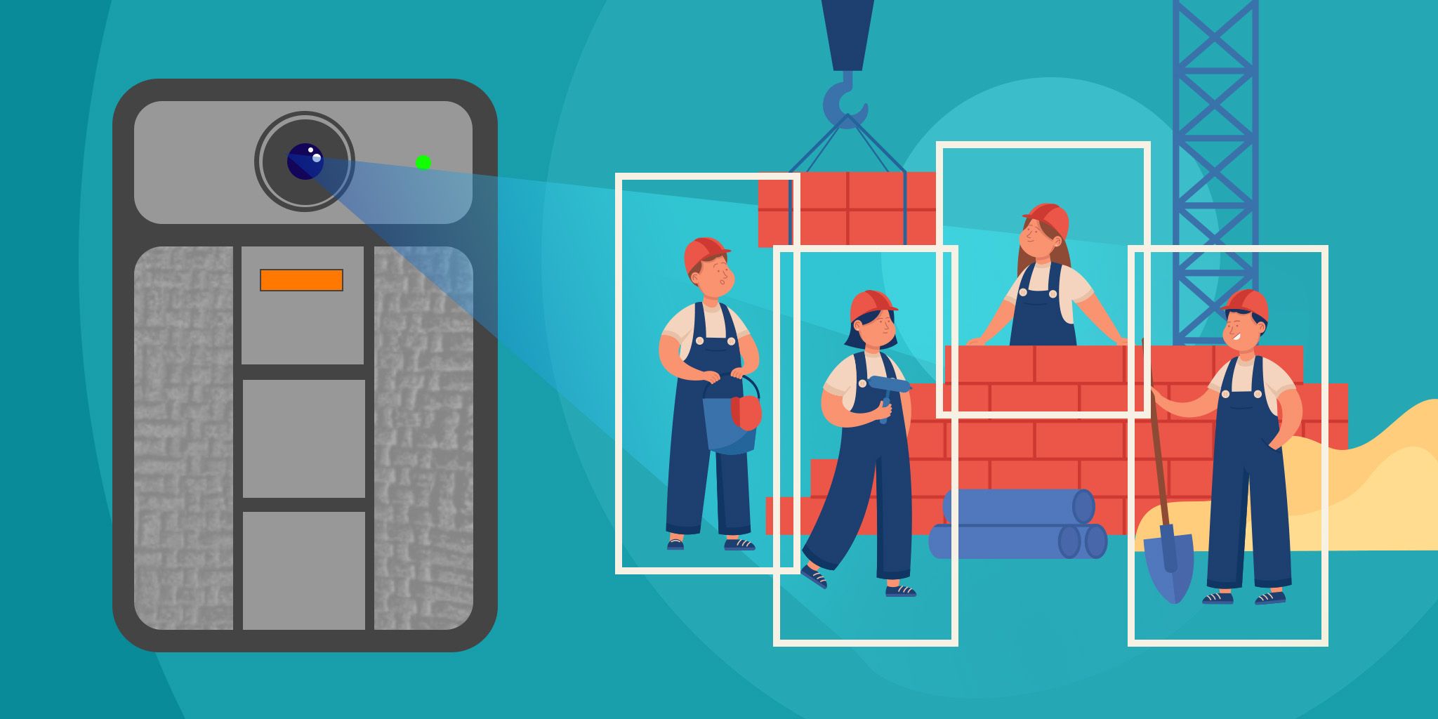
Construction Site Safety Monitoring
AI-powered wearables for real-time PPE compliance monitoring, hazard detection, and incident documentation.
AI-powered wearables for real-time PPE compliance monitoring, hazard detection, and incident documentation.
Iveda
Iveda
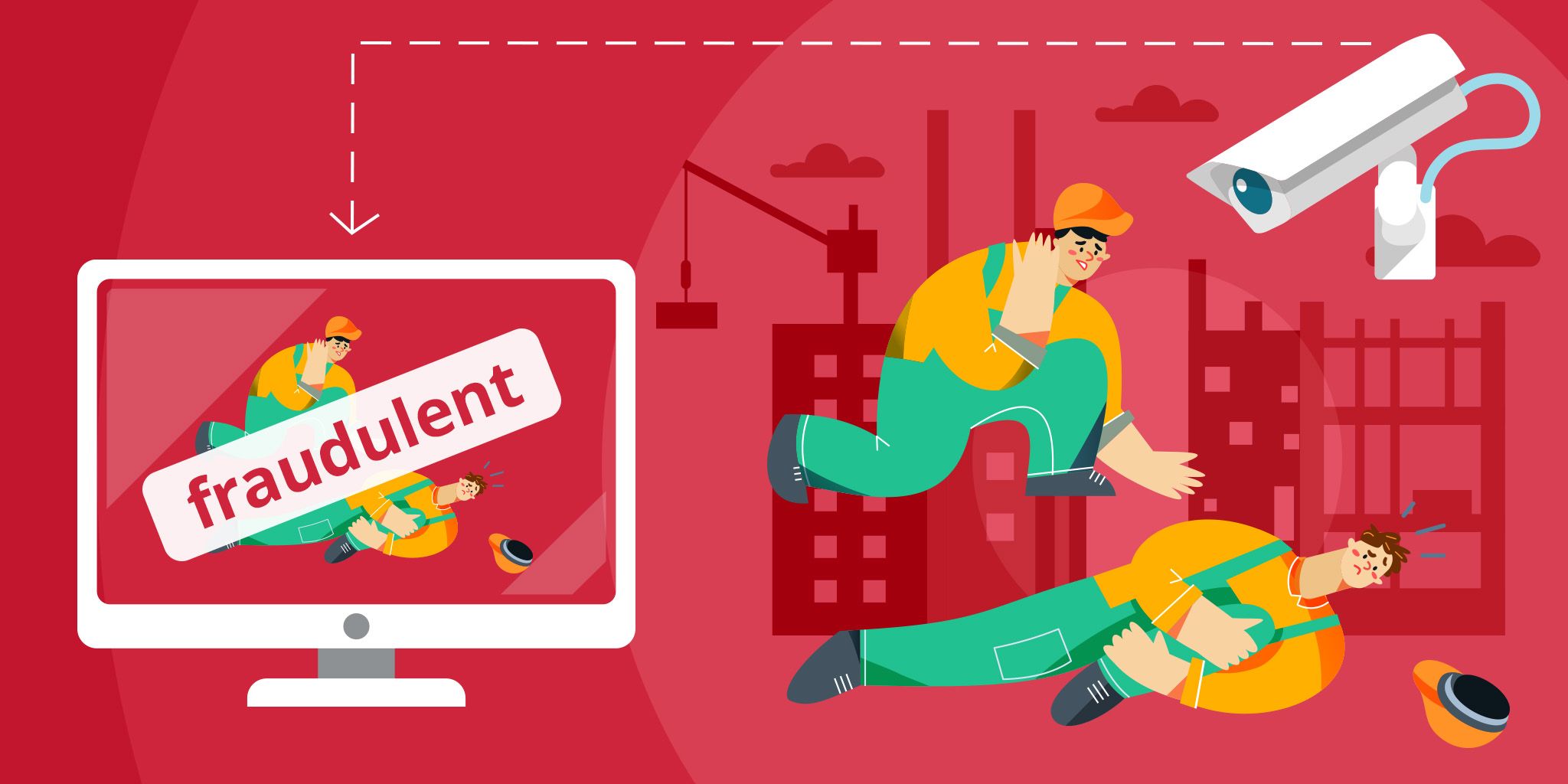
Workers' Compensation Fraud Prevention
Quickly verify claims, reduce investigation time, and protect your bottom line with AI-powered video surveillance and analytics.
Quickly verify claims, reduce investigation time, and protect your bottom line with AI-powered video surveillance and analytics.
Iveda
Iveda

Related Solutions
Industrial
RTK Positioning for Robotics and Field Machines
High-precision positioning. Achieve centimeter-level accuracy without the complexity of building custom hardware from scratch.
Kalmix
Construction
Construction Site Safety Monitoring
AI-powered wearables for real-time PPE compliance monitoring, hazard detection, and incident documentation.
Iveda
Construction
Workers' Compensation Fraud Prevention
Quickly verify claims, reduce investigation time, and protect your bottom line with AI-powered video surveillance and analytics.
Iveda